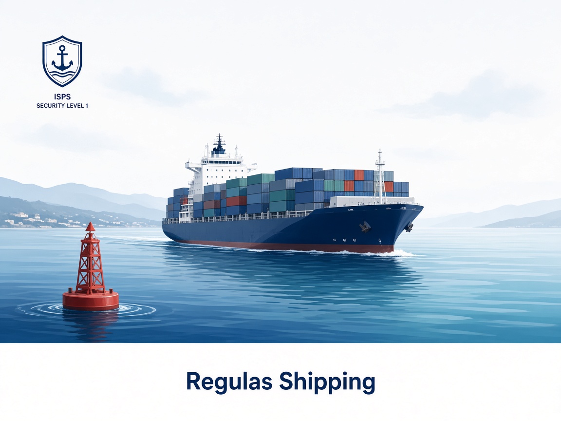
The Liberia Maritime Authority has restated that Liberian-flagged ships making innocent passage through the Red Sea and the Gulf of Aden are to remain at International Ship and Port Facility Security (ISPS) Code security level 3 and to apply every protective measure in the approved Ship Security Plan. SAFETY4SEA carried the latest flag advisory on 9 September 2026. The instruction sits on top of a threat picture that is no longer a single-weapon problem. Armed skiffs, one-way and loitering drones, anti-ship and ballistic missiles, water-borne improvised explosive devices, and mines that have come off their moorings off the Yemeni coast are all in the same brief. Unmanned underwater vehicles have been reported in the area, although no merchant ship has yet been hit by one.
That is a flag order, not a routing opinion. ISPS level 3 is the setting used when a security incident is probable or imminent even if the specific target cannot be named. For a Liberian ship in the southern Red Sea or Bab el-Mandeb, it is the default, not an upgrade the master applies after the first radar contact. Outside territorial waters and ports inside the previously defined high-risk area shown on UKHO chart Q6099, Liberia still expects level 2 as the regional baseline, with the Red Sea and Gulf of Aden held at level 3. Inside territorial waters or a port, the master follows the port State’s designated security level but may keep Liberian level-3 measures on top of it. Any change of level is to be reported by the master to the flag at [email protected]. Ships of other flags will not receive that email, but they will meet Liberian tonnage on the same traffic lane, and the measures those ships are running — restricted access, extra lookouts, citadel readiness, AIS policy — are now the practical picture of a “routine” transit.
The geography in the advisory is tighter than a whole-sea warning. The highest risk remains along Yemen’s Red Sea coastline. Attacks have been reported out to about 100 nautical miles from the coast. U.S. Naval Forces Central Command has separately told commercial shipping that the threat stays high between 12 and 16 degrees north and west of 46 degrees east, covering the southern Red Sea and the Bab el-Mandeb Strait. That box is the stretch where a company still sending boxships, tankers or bulkers through Suez, or a tanker lifting from a Saudi Red Sea terminal after this week’s strikes on southern energy sites, is actually at risk. Operation Prosperity Guardian remains on station in the southern Red Sea as a presence and deterrence mission, currently commanded by Destroyer Squadron 50. It is a naval overlay, not a substitute for the Ship Security Plan.
Targeting language in the same advisory is the part charterers still under-read. The decision to transit or to call remains with the company. Liberia and NAVCENT both tell operators to weigh recent attacks on commercial ships linked to Israel by ownership, cargo or prior port calls, and on ships trading to and from Saudi Arabian ports. Vessels planning a transit are told to contact Naval Cooperation and Guidance for Shipping (NCAGS) for information on possible Israel association. That is not a legal finding that a ship is a lawful target. It is a working assumption that hostile actors are screening AIS histories, cargo records and corporate trees. A fixture that looks “clean” on the current bill of lading can still carry a previous Haifa, Ashdod or Eilat call, an Israeli beneficial owner several layers up, or a Saudi load port that now sits inside the Houthi maritime-embargo narrative. NCAGS is the place to test that file before the ship enters 12–16N.
AIS policy is the other operational trap. IMO Assembly Resolution A.1106(29) still lets a master switch AIS off if continued transmission would compromise safety or security, or if a security incident is imminent. Liberia’s advisory is explicit that ships have been attacked with AIS both on and off. Switching off makes the ship harder for a militia to track on public feeds; it also makes the ship harder for a warship, aircraft or rescue unit to find. The recommended middle path is to keep AIS transmitting, limit the data to mandatory fields, and omit the next port of call while inside the high-risk stretch. Ships that do go dark are told to pass position reports to COMUSNAVCENT every two to three hours. That is a company procedure, not a bridge improvisation. The CSO needs a written AIS rule for 12–16N, a logging standard for any shutdown, and a named person who sends the two-to-three-hour reports if the transponder is off.
Reporting channels have not changed, and they are still the first thing a master will be asked about after an incident. Ships should report movements to UK Maritime Trade Operations (UKMTO), register with the Maritime Security Centre for the Indian Ocean (MSCIO) in line with Best Management Practices for Maritime Security (BMP MS), and consult Joint Maritime Information Centre (JMIC) products before the voyage, not after the first UAV track. Ships transiting the Red Sea, Gulf of Aden, Arabian Sea, Gulf of Oman, Strait of Hormuz and Arabian Gulf are also encouraged to report to the Information Fusion Centre – Indian Ocean Region (IFC-IOR). Liberia continues to tell owners to consider privately contracted armed or unarmed security after a voyage-specific threat assessment. Embarked teams do not cancel level 3. They sit inside the Ship Security Plan, with rules of engagement that already have to distinguish pirate skiffs, Houthi or affiliated craft, Yemeni government Coast Guard patrols, and coalition warships — a distinction this week’s Aden intercept of the tanker Nereida made concrete.
The operational implication is that “we are still using Suez” is no longer a single decision. It is a stack: ISPS level 3 on Liberian (and, in practice, on well-run) tonnage; a NAVCENT box that is smaller than the Red Sea; an Israel- and Saudi-association screen run through NCAGS; an AIS policy that assumes the ship can be hit either way; mines that can drift into the traffic lane; and a drone and missile set that reaches well offshore. Companies that treat level 3 as a night-time extra lookout, or that leave AIS and next-port fields on default, are not following the flag that still registers a large share of the world’s tanker and container fleet. Companies that divert via the Cape need the same association screen if the ship later re-enters via Bab el-Mandeb or calls a Saudi Red Sea port. The advisory does not close the strait. It tells operators what “open” now costs in procedure.
What Operators Should Note
- Treat ISPS level 3 as the Liberian default in the Red Sea and Gulf of Aden, not a local upgrade. Implement the full Ship Security Plan package. Report any level change to [email protected]. Other flags should at least match the measures their Liberian peers will be running on the same lane.
- Plot the NAVCENT box, not only “the Red Sea.” 12–16N and west of 46E is the stretch NAVCENT still rates as high threat. Passage plans, citadel drills and extra lookouts belong there, including by day and at 100 nautical miles off the Yemeni coast.
- Run an Israel- and Saudi-association file through NCAGS before the ship enters the strait. Screen beneficial ownership, cargo interest, and prior port calls, not only the current voyage order. A Saudi Red Sea load or discharge now sits inside the same targeting language as an Israeli touchpoint.
- Write the AIS rule before the transit, including the dark-ship reporting cadence. Prefer mandatory-fields-only with next-port omitted. If AIS is switched off, COMUSNAVCENT position reports every two to three hours are part of the procedure. Do not assume dark AIS equals safety; ships have been hit both ways.
- Register with UKMTO and MSCIO, file with IFC-IOR, and read the current JMIC note. BMP MS remains the industry baseline. Coalition presence under Operation Prosperity Guardian is a deterrence overlay, not a replacement for company reporting.
- Add drifting mines and unmanned underwater vehicles to the bridge brief, even where no UUV hit has been confirmed. Mines that have broken free from Yemeni coastal lays can sit in the traffic lane. The watch should treat a floating object in 12–16N as a security and navigation contact, not debris.
- Keep private armed security inside written ROE that name state craft. Level 3 does not authorise fire on a government patrol or a coalition unit. Yemeni Coast Guard, recognised naval forces and pirate or militia skiffs are three different pictures.
Regulas Shipping will keep lining Liberian ISPS level-3 orders, NAVCENT’s 12–16N box and AIS dark-ship reporting against the widening Red Sea and Gulf of Aden weapon set so operators can treat a still-open Bab el-Mandeb as a procedure problem, not a clear strait.