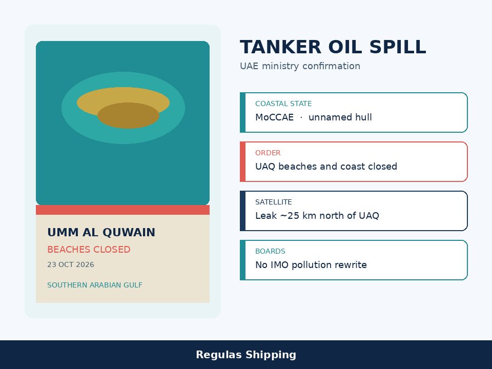
The United Arab Emirates Ministry of Climate Change and Environment confirmed on Friday that its technical monitoring and environmental assessment system had detected a tanker oil spill affecting Umm Al Quwain’s beaches. Teams “immediately began containment, cordoning, clean-up and remediation with local and federal authorities to limit environmental impacts,” the ministry said. With those authorities, it temporarily closed all Umm Al Quwain beaches and coastal areas until technical teams complete assessments and identify safety and marine-protection measures. Fishermen and other sea users were told to follow official instructions and to avoid fishing in the affected locations. Odours noticed in Sharjah, Ajman and Umm Al Quwain “pose no health risks to residents.”
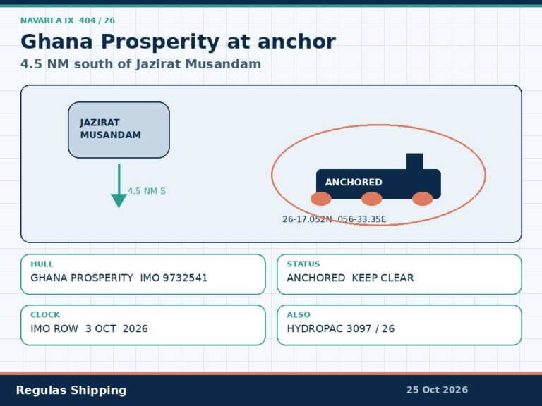
The ministry did not name the vessel. It did not print an IMO number, a flag, a strike date, a cargo grade, a spill volume, or a coordinate pair. That gap is the product. This is a Friday coastal-confirmation file. It is not this morning’s dedicated IRGC Navy claim of four northern-Gulf STS fires and three mine hits west of Hormuz. That statement still has no independent naming and no UKMTO Attack number. It is not the 9 October Gem No. 2 damage row on the International Maritime Organization’s highlighted-incidents board. The board, as at 22 October, still prints GEM NO. 2, IMO 9735373, 9 October, 13 nautical miles west of Al Jazeera, UAE, “Damaged. No pollution.” Friday’s beach confirmation does not rewrite that row. It is not UKMTO Warning 181-26. The recent-incidents board still ends at Warning 179-26 off Bukha and Warning 180-26 off Al Faw. It is not JMIC Update 107. Update 106 remains the last numbered public note, information cut-off 181300 UTC 18 October, Hormuz SEVERE, Arabian Gulf SUBSTANTIAL.
Umm Al Quwain Municipality said it was intensifying field work to contain the effects of the spill, support clean-up and limit damage to marine habitats and coastal ecosystems. Gulf News printed a fishing suspension in the affected waters, to remain in place until containment and remediation are complete. The ministry’s Friday note also answered several days of public reports of an acrid fuel smell in the northern emirates, including parts of Dubai. The smell, on the ministry’s wording, is not a health risk. The beaches are closed because of marine pollution, not because a port has been shut.
Three tapes that must stay separate
Agency colour around the unnamed confirmation is not a ministry naming. The National, updating Friday, said international maritime agencies identify Gem No. 2 as the hull struck in a suspected Iranian drone attack on 9–10 October, and that 22 Indian sailors were rescued from the 330-metre vessel at the time. Euronews printed the same 9 October UKMTO projectile-and-fire report off the UAE coast and said Vanguard had named the Panama-flagged tanker GEM NO.2. Those are agency and vendor lines. They sit beside Friday’s ministry statement. They are not inside it.
Windward’s 22 October intelligence note is a third tape. Satellite imagery collected on 19 October, the company said, showed a VLCC-size tanker apparently leaking oil about 25 kilometres north of Umm Al Quwain, with a slick extending about 1.5 kilometres behind the vessel. Windward’s drift model put possible shoreline contamination from 22 October and possible approach to Hamriyah Port, Ajman Port, coastal mangroves and desalination infrastructure through 24 October. The company cautioned that the projections do not account for clean-up operations or for the leak being stopped. The National captioned a 21 October SAR radar image, credited to the European Space Agency, as oil leaking from a tanker 25 kilometres off Umm Al Quwain. Windward did not print a ship name on that leak paragraph. Do not write a name onto the satellite frame.
The IMO board is the constraint on the named hull. GEM NO. 2 remains a 9 October Al Jazeera-offset damage row with “No pollution” as at 22 October. If company security and the agencies are right that the same VLCC-size hull is the source of the 19–21 October leak imagery, then the board’s pollution line is stale for the internal file until IMO moves it. That is a file note. It is not authority to brief Friday as an IMO pollution increment, as a new confirmed incident, or as a rewrite of the 9 October row. Kition M, 11 October, Strait of Hormuz, remains the board’s printed “limited pollution” line. Do not move that limited-pollution wording onto Umm Al Quwain.
What the confirmation changes for Gulf operators
The operational change on Friday is coastal and local, not a Hormuz closure and not a Fujairah STS shutdown. Umm Al Quwain’s beaches and coastal areas are closed. Fishing in the affected water is suspended. Containment, cordoning and clean-up are under way. Masters and boat operators using the Umm Al Quwain, Hamriyah and Ajman nearshore, including small craft, landing craft and service boats, should treat the ministry instruction as in force until it is lifted. Jebel Ali, Port Rashid, Fujairah and Khor Fakkan are not named in the Friday statement. Do not brief those ports as closed on the back of a UAQ beach order.
The leak geometry, if Windward’s 25-kilometre-north offset holds, sits on the southern Arabian Gulf coast, well inside the UAE’s side of the Gulf and well away from the Oman-side night shuttle that Lloyd’s List Intelligence has described for Hormuz. Update 106 already raised the Arabian Gulf to SUBSTANTIAL and recorded a dense Fujairah / Khor Fakkan anchorage. Friday’s slick is a pollution and nearshore-access problem on that UAE coast. It is not a substitute for the STS-tug and projectile files already on this desk, and it is not proof that the IRGC’s unnamed Thursday seven-hull claim has been verified. Keep the night-lane and Fujairah-waiting-hull questions on those products.
Charterers and QHSE desks will ask three narrower questions. First, is the source hull identified by the coastal State? Not on Friday’s ministry note. Second, is there a navigation warning, a prohibited area, or a boom pattern that affects commercial tracks? The public note closes beaches and coastal areas and tells fishermen to stay out of affected water; it does not publish a lat/long exclusion. Third, does the confirmation change the 9 October Gem No. 2 company file? Only as a pollution-watch against a board that still says “No pollution.” Owners of any tanker still sitting damaged off the UAE coast should expect inquiries from the ministry, the emirate, class, P&I and, if the hull is the 9 October row, from the flag. None of those inquiries is printed in the Friday statement.
Environmental context is not a liability finding. Khalifa University’s Diana Francis, speaking to The National about Gulf conflict spills, said oil continues to move with the currents until it is removed, can accumulate in gyres, and can give off fuel-like odours as it evaporates. NYU Abu Dhabi’s John Burt said containment before oil reaches a coastline is the preferred course, and that remediation after a shoreline hit is slow. Those are academic comments. They do not quantify Friday’s slick and they do not name the tanker. The 1990–91 northern-Gulf comparison in the same interview is history, not a damage survey of Umm Al Quwain’s beaches.
What Operators Should Note
- Log an unnamed ministry confirmation, not a named Attack. MoCCAE, Friday 23 October. Tanker oil spill affecting Umm Al Quwain beaches. Containment, cordoning, clean-up, remediation. All UAQ beaches and coastal areas temporarily closed. Fishermen and sea users told to stay out of affected water. Odours in Sharjah, Ajman and UAQ: no health risk, on the ministry’s wording. No ship name, no IMO number, no volume, no coordinate.
- Hold Gem No. 2 as agency colour beside an IMO “No pollution” row. The National and Euronews / Vanguard point at GEM NO.2, Panama, the 9–10 October projectile-and-fire off the UAE, 22 Indian crew rescued, about 330 metres. IMO as at 22 October: GEM NO. 2, 9735373, 13 NM west of Al Jazeera, Damaged. No pollution. Do not brief the ministry statement as that naming, and do not brief the board as closing Friday’s beaches.
- Keep the satellite leak on its own geometry. Windward, imagery 19 October: VLCC-size tanker, about 25 km north of Umm Al Quwain, slick about 1.5 km astern. Model: shoreline from 22 October; Hamriyah, Ajman, mangroves and desalination infrastructure through 24 October; model ignores clean-up and a stopped leak. ESA SAR 21 October, as The National captioned it: leak 25 km off UAQ. Windward did not print a name on that paragraph. Do not write one onto the frame.
- Treat the order as a UAQ coastal closure, not a UAE port shutdown. The printed restriction is Umm Al Quwain beaches and coastal areas, plus a fishing suspension in affected water. Jebel Ali, Fujairah, Khor Fakkan and the Oman-side night lane are not named. Nearshore craft on the UAQ–Hamriyah–Ajman strip should follow the ministry and the municipality until the assessment is lifted.
- Do not merge Friday onto Thursday’s IRGC claim or onto the numbered boards. No Warning 181-26. No IMO increment. No Update 107. Hormuz remains SEVERE on Update 106. The Arabian Gulf remains SUBSTANTIAL. Kition M remains the board’s limited-pollution Hormuz row. Report any sheen, damaged hull or recovery contact to the coastal State, to UKMTO if it sits in that reporting scheme, and to the flag. Do not wait for a ministry naming that Friday did not give.
- Update the company pollution watch, not the war-risk clause, unless the fixture asks. Friday is a confirmed shoreline impact and an open source-hull question. It is not a Joint War Committee change, not a Hormuz closure, and not a finding that the 9 October damage row has been reopened as a new incident. Answer charterers with the verification gap on the name and with the beach-and-fishing restriction that is actually in force.
Regulas Shipping will keep lining Friday’s unnamed Umm Al Quwain ministry confirmation against Windward’s 25-kilometre leak geometry and the IMO board’s still-clean Gem No. 2 row so operators can treat the slick as a coastal pollution order, not as a named Attack or a UAE port closure.